Tourbière de Sérent

Kerfontaine, 56460 Sérent
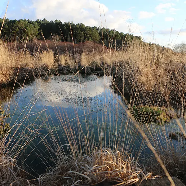
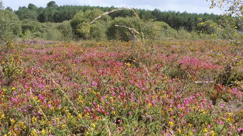
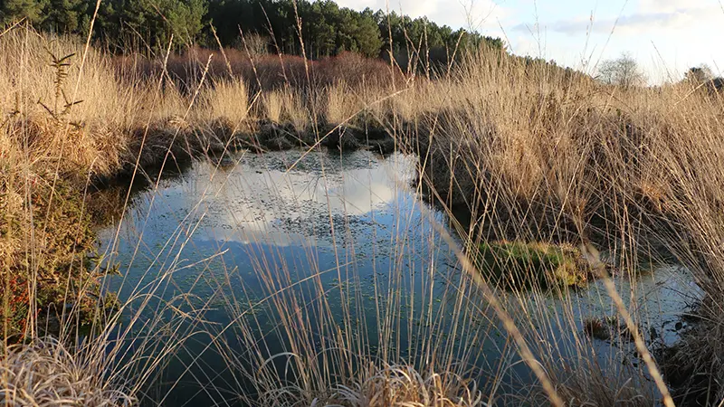
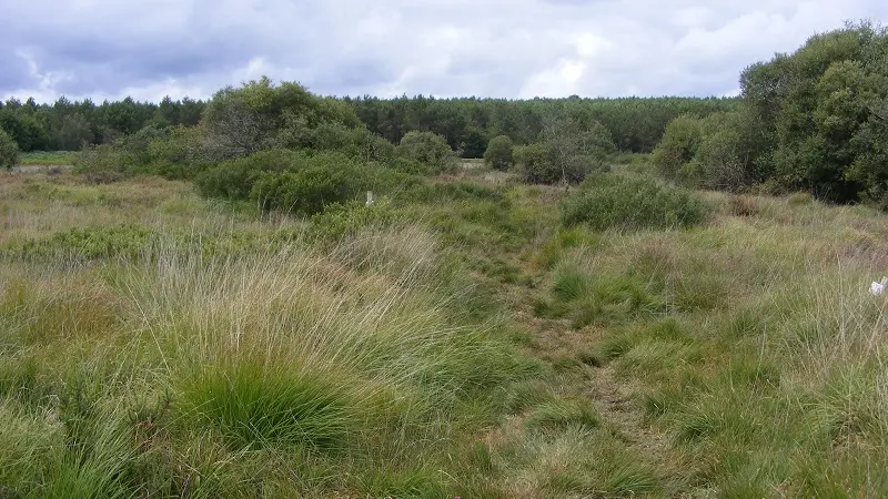
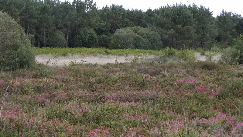
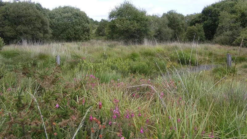
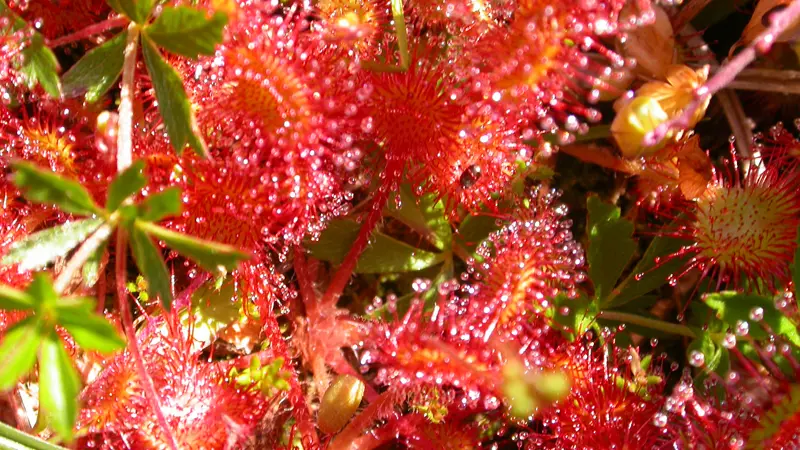
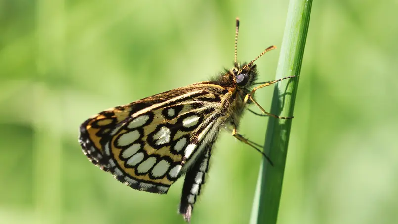
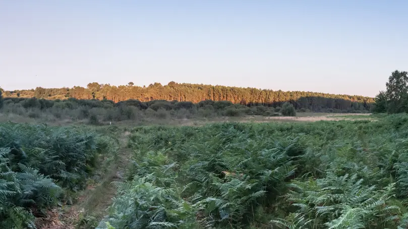
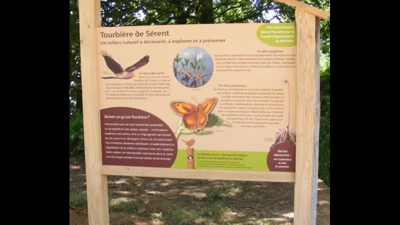
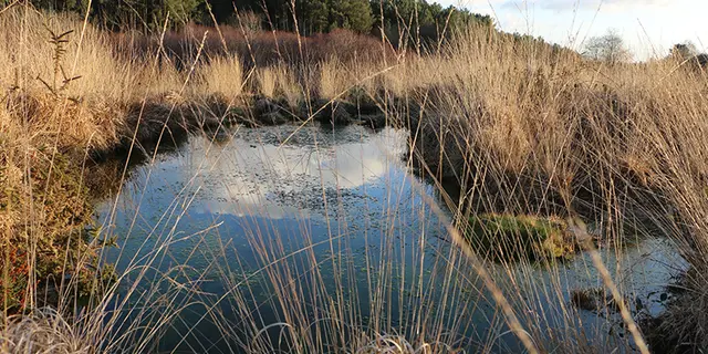
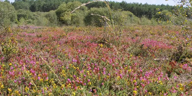
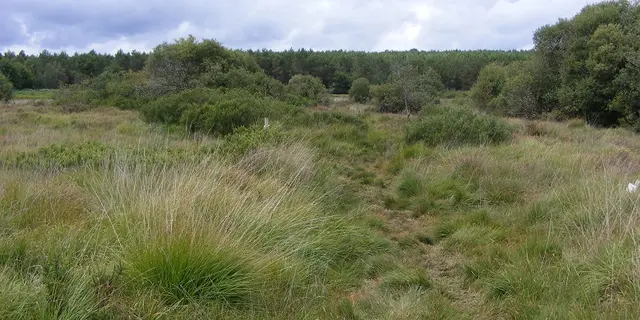
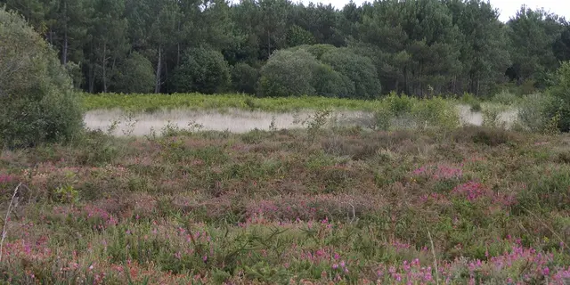
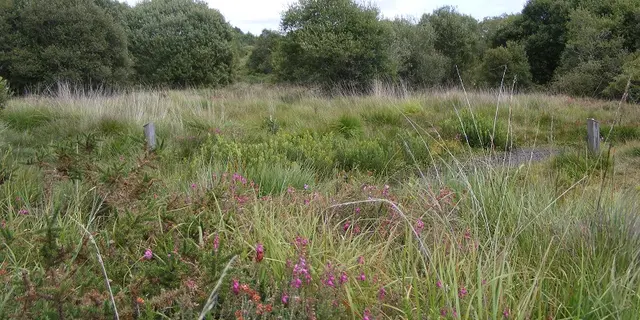
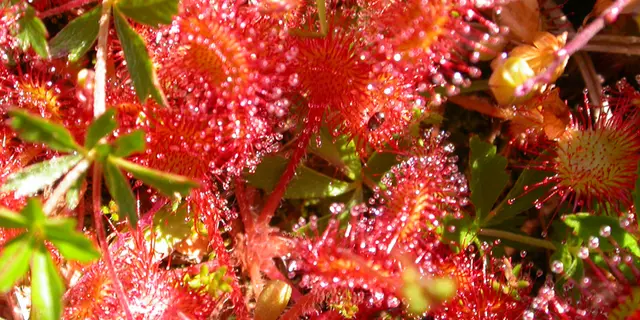
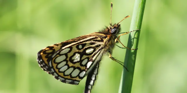
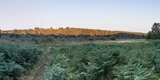
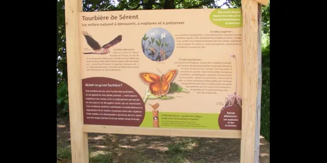
Formed 5,000 years ago, this 22-hectare communal reserve, classified as a sensitive natural area, is managed by the Bretagne Vivante association. It is the last important site in the east of the Morbihan and the Lanvaux moorland massif, revealing an ecosystem that is both sensitive and remarkable, with a multitude of rare animal and plant species. The low temperature of the subsoil favours the development of vegetation dating, in some cases, from the post-ice age.
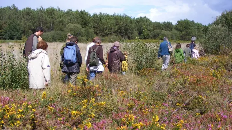
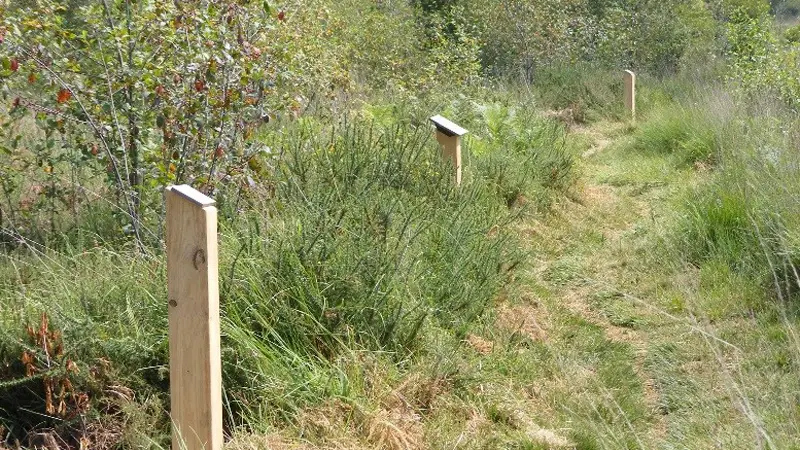
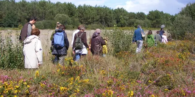
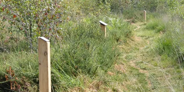
To discover this original vegetation, a 2 km interpretation trail and audio guides (French and English audio walks), available in Sérent (Information Point in July/August, and the town hall the rest of the year) and at the Malestroit Tourist Office, retrace the history of this fertile land.
Picnic area.
Nature walks from mid-July to mid-August with a nature guide, on reservation at 02 97 66 92 76.

Rates

Rates

Rates 2025

Rates 2025
Free

Accepted customers

Accepted customers
  • Individuals
  • Groups

Medias

Medias

Circuit d'interpretation - Tourbière de Sérent
©© Mairie de sérent
Tourbière de Kerfontaine
©©
Sérent tourbières de kerfontaine 2
©© Mairie de Sérent
Sérent Tourbières de kerfontaine 3
©© Mairie de Sérent
Sérent Tourbières de Kerfontaine 5
©© Mairie de Sérent
Sérent Tourbières de Kerfontaine 6
©© Mairie de Sérent
TOURBIERES DE SÉRENT - drosera
©© Maire de Sérent
TOURBIERES DE SÉRENT - Papillon
©© Mairie de Sérent
TOURBIERES DE SÉRENT
©© Mairie de sérent
Circuit d'interpretation - Tourbière de Sérent
©© Mairie de sérent
Circuit d'interpretation - Tourbière de Sérent
©© Mairie de sérent

Location

Location

Tourbière de Sérent
Kerfontaine, 56460 Sérent

Spoken languages

Spoken languages
  • French
Report mistake
Close
Filter search
Page types
  • All
  • Articles
  • Agenda
  • Lists
Aucun résultat